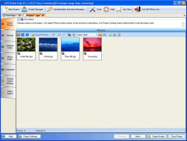
GPS-Photo Link is a program designed for mapping photographs. The program is able to map photographs and accompanying attribute information captured with a smartphone, tablet, GPS camera or any digital camera used in conjunction with any GPS unit. You can create customized output for data sharing and reporting including watermarked photos and reports in a variety of formats including PDF, HTML and DOC.

Comments